
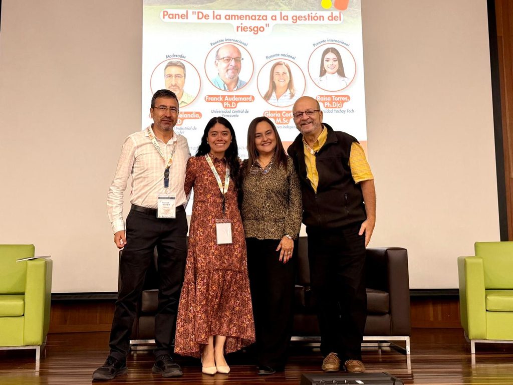
Studying the subsoil to design buildings that are more resistant to earthquakes and preparing communities to respond to emergencies were two of the topics discussed during the panel “From Threat to Risk Management.” The event took place this Thursday in the Luis Eduardo Lobo Auditorium at the Industrial University of Santander (UIS), as part of the 6th Geophysics Week.
The panel featured Franck Audemard, full professor at the Central University of Venezuela; Gloria Cortés, an independent researcher; and Raisa Torres, a professor and researcher at Yachay Tech University in Ecuador. Francisco Velandia Patiño, a professor at the UIS School of Geology and holder of a Ph.D. in Geosciences, served as moderator.

“In the field of risk, we are all stakeholders in the process,” stated Franck Audemard. The professor explained that understanding the characteristics of the subsoil helps explain why the ground may vibrate differently from one area to another during an earthquake. That information guides engineers in designing buildings better able to withstand those movements.
Audemard highlighted the role of universities in disaster prevention and proposed that their faculty and students work with government agencies to study active faults and update seismic hazard assessments. He explained that, to assess risk, it is also necessary to identify which people and buildings might be affected and how vulnerable they are. With this information, local authorities can guide land-use planning and determine which areas require more detailed studies.

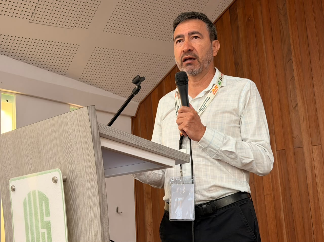
In the case of Bucaramanga, Francisco Velandia Patiño, a professor at the School of Geology, invited students to investigate why so many earthquakes occur at great depths in what is known as the Bucaramanga Seismic Nest. He also encouraged them to study the faults near the city that can generate earthquakes at shallower depths. The results of the fieldwork and subsurface analysis can provide valuable information for land-use planning and for explaining the hazards in their environment to the public.
For her part, researcher Gloria Cortés explained how volcanic hazards are studied using the example of Cerro Machín in Tolima. The materials left behind by past eruptions make it possible to reconstruct what happened and determine how far they spread. These traces help identify which areas could be affected by a future eruption and share that information with the communities.

“For us, working with the community is very important,” said Raisa Torres, a professor and researcher at Yachay Tech University in Ecuador. The researcher highlighted the value of combining new technologies with the expertise of those who have been studying these phenomena for decades. She explained that such collaboration can speed up analyses and improve the models used to estimate what might happen.
Torres also cautioned that communities can quickly forget a threat once they no longer feel its effects. Therefore, when discussing the importance of drills, she urged that the exercise “not be just a one-time event, but rather something we incorporate into our activities at least once a month.”
At the conclusion of this discussion, participants emphasized the importance of teaching risk management starting in childhood, even in preschool. For example, a map of the school environment created using technical information can help children recognize the places they frequent, identify the risks present there, and know how to act in an emergency—including the evacuation route they must follow to save their lives.

The panel was held as part of the 6th Geophysics Week, organized by the Research Group on Algorithm Design and Multidimensional Data Processing (HDSP), the Research Group on Basic and Applied Geology (GIGBA), and the Research Group on Connectivity and Signal Processing (CPS).
Geophysics Week is part of the initiatives promoted by the research project “New computational technologies for the joint processing and inversion of gravimetry, magnetometry, and magnetotellurics using physics-guided deep learning for multi-criteria characterization,” funded by the Ministry of Science, Technology, and Innovation (Minciencias) and the National Hydrocarbons Agency (ANH) through Contract 045 of 2025.